This post may contain Amazon affiliate links which means, as an Amazon Associate, I may receive a small commission from purchases made through these links at no cost to you. I only recommend products I have personally used. To learn more, please see my privacy policy page.
Cartography is the science and art of creating maps to represent spatial relationships and features on Earth or other surfaces. It involves various techniques and technologies, including GIScience, to capture, analyze, and display geographical information in a visual format.
Key Words
- geographic information systems
- map
- projection
- scale
- symbolization
- topography
Dive deeper into the rich world of cartography to discover how maps have shaped history, art, and our understanding of the world. Explore the fascinating blend of science and creativity that goes into every map, uncovering the hidden stories behind these intricate representations of our planet. Read on…
Key Takeaways
- Cartography is the practice of making maps to represent physical features using mathematical, graphical, and symbolic techniques.
- Geography provides cartographers with data and context for accurate map creation while cartography allows us to visualize geographical information.
- The future of cartography includes innovative trends such as virtual reality & collaborative mapping which could revolutionize our interaction with maps.
The Essence of Cartography: Definition and Evolution
In our ever-expanding world, where every corner of the globe seems to be within reach, there exists an unsung hero that has guided explorers, shaped civilizations, and provided a canvas for artistic expression: Cartography. It is the art and science of maps, a discipline that goes far beyond mere geography. Cartography has greatly influenced human history, enabling us to understand, navigate, and interpret our planet with unparalleled precision. Let’s explore the captivating world of cartography, from its origins to its modern digital transformations, answering the age-old question: What is cartography, and why does it matter in our contemporary world?
Maps have been an integral part of human civilization for centuries. In the past, mapmakers employed basic tools and techniques to create these drawings, while today’s cartographers use advanced technology for detailed interactive maps that accurately depict Earth’s surface. The term ‘cartography’ is derived from two Greek words: ‘charts’, meaning sheet or papyrus. And ‘graphein’, which means write or draw, symbolizing the artistry of creating maps over time. Cartographic design incorporates geographical elements as well as data points to represent spatial information effectively using different scales and projections throughout the history of cartography – all to generate meaningful insights about our world!
Defining Cartography
Cartography is the discipline that encompasses the creation, study, and interpretation of maps. It involves the use of mathematical, graphical, and symbolic techniques to represent geographic features, facilitating spatial understanding and communication. Cartographers, experts in this field, employ a range of tools and technologies to produce maps that convey information about the Earth’s surface, from simple roadmaps to complex geographic information systems (GIS) used in various fields, including geography, environmental science, urban planning, and more. In essence, cartography transforms our world into visual representations that aid in navigation, decision-making, and the exploration of our planet.
The Evolution of Cartography
Cartography, the art and science of map-making, has undergone a remarkable evolution throughout history. Its origins can be traced back to ancient civilizations such as the Babylonians and Greeks, who created rudimentary maps to aid navigation and governance. The Renaissance era witnessed a resurgence of cartography, with figures like Ptolemy producing influential maps that shaped European exploration. The Age of Exploration brought about a surge in world maps as adventurers charted new territories. In the modern era, digital technology and Geographic Information Systems (GIS) have revolutionized cartography, enabling precise, dynamic, and interactive maps for diverse purposes, from navigation to environmental analysis. Cartography’s journey through time reflects humanity’s ceaseless quest to understand and depict the ever-changing world around us.
The Interplay Between Geography and Cartography
The relationship between geography and cartography is symbiotic, where one complements and enriches the other. Geography is the study of Earth’s physical features, environments, and spatial relationships. Cartography, on the other hand, is the art and science of representing geographic information visually. Together, they form a dynamic duo that enhances our understanding of the world.
Geographic Data as the Cartographer’s Canvas: Cartographers rely on geographic data—information about landforms, climate, population, and more—as the foundation for their maps. Geography provides the raw material, the canvas upon which cartographers paint their representations of the world. Without accurate geographic data, maps would be mere abstractions.
Maps as Tools for Geographic Analysis: For geographers, maps are invaluable tools. They allow geographers to visualize patterns, spatial relationships, and trends in geographic data. By analyzing maps, geographers can draw conclusions about ecosystems, human settlements, climate variations, and countless other aspects of Earth’s geography.
Maps as a Medium for Geographic Communication: Cartography serves as the bridge between the complexity of geographic data and its comprehension by a wider audience. Maps distill intricate geographic information into accessible and easily interpretable visual representations. They are powerful tools for conveying geographic concepts and findings to policymakers, researchers, and the general public.
Evolving Technology and Interdisciplinary Collaboration: Advancements in technology, particularly Geographic Information Systems (GIS), have further strengthened the interplay between geography and cartography. GIS allows geographers and cartographers to analyze, visualize, and manipulate geographic data with unprecedented precision. This synergy has opened doors to interdisciplinary collaboration, where experts from both fields work together to solve complex spatial problems.
The Role of Cartography in Geography
Maps, spatial data, and cartographic design are all central components of geography. For example, designing effective maps that communicate an intended message is a key factor in mapping geographic information for comprehension. Not only does it help us to better visualize patterns within our world but also analyze the connections between different features or phenomena found across geographical areas. Cartography thus remains an essential tool which plays a critical role in making sense of the ever-evolving planet we live on today.
In summary, geography provides the substance, questions, and challenges, while cartography offers the means to visualize, analyze, and communicate geographic knowledge. This interplay between geography and cartography is vital, ensuring that our understanding of the world remains accurate, up-to-date, and accessible to all. Together, they continue to shape our exploration and interpretation of the diverse landscapes that make up our planet.
Mastering the Art of Cartographic Design
Cartographic design requires a careful balancing of beauty and usefulness. A well-crafted map should not only look good but also be clear to the map reader too, so that any presented data can easily be understood. Accomplishing this involves paying attention to features such as scale, projection style, symbolization choices and color palettes. In order to make detailed maps with accuracy it is recommended referencing an illustrated map or improving skills in reading them since understanding size ratios correctly will render accurate representations of distances when drawing maps.
Visual hierarchy is another major element found in modern cartography, which helps viewers browse information quickly by organizing all elements on the map according to its level of importance. Achieving this through changing their sizes, colors, levels of contrast or locations within the visualization field results in efficient optimization for easy interpretation. The upcoming sections are meant to discuss more thoroughly these fundamental parts of successful cartographic design creation.
Achieving Balance and Clarity
Maps must be created with careful consideration of different elements to produce clear and balanced results. Cartographers need to consider factors like scale, projection, symbolization, and color scheme for effective cartographic design, as this combination helps create attractive visuals that allow users the ability to navigate and comprehend information on the map easily. To ensure quality maps are produced each element plays an important role. Scale provides detail while projections display Earth’s surface onto a flat surface of planes, symbols represent features or phenomena and colors highlight necessary data points.
Creating Visual Hierarchy
Creating visually appealing and instructive maps requires the use of map making techniques to establish a visual hierarchy. These include size, color, contrast as well as placement – all factors that can be used to clarify structure and organize information in an easy-to-grasp manner on a map. For instance, key features like popular landmarks or main roads may be accentuated with larger symbols while those less important such as parks or minor streets are represented by smaller ones. Bright colors help draw attention to specified areas within the document for extra emphasis highlighting certain elements over others thus conveying its intended message effectively.
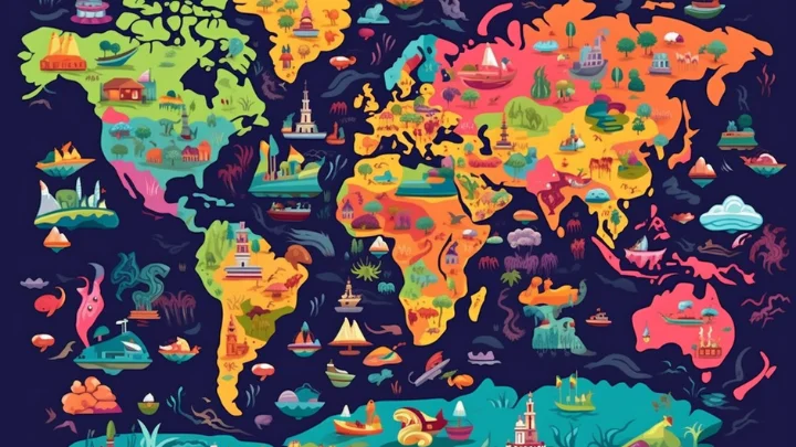
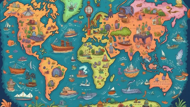
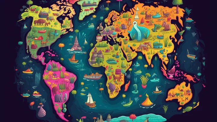
Exploring the Diversity of Map Types
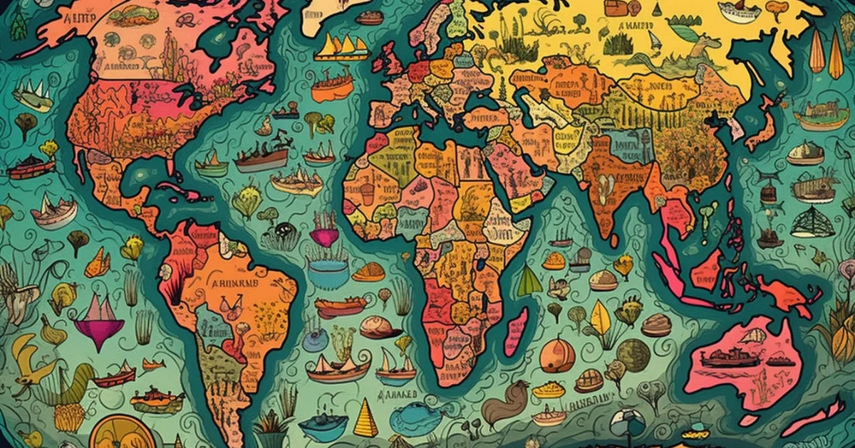
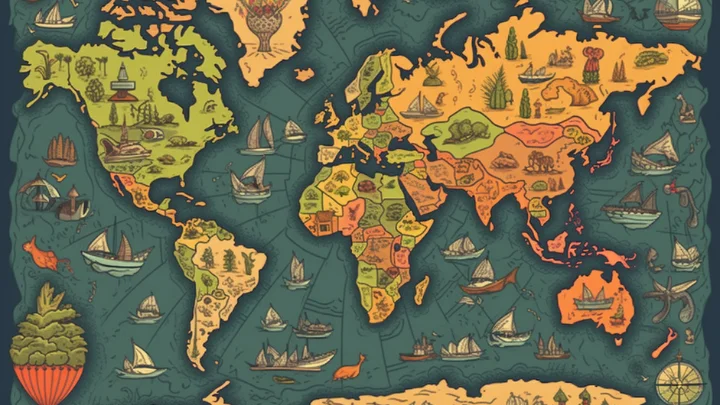
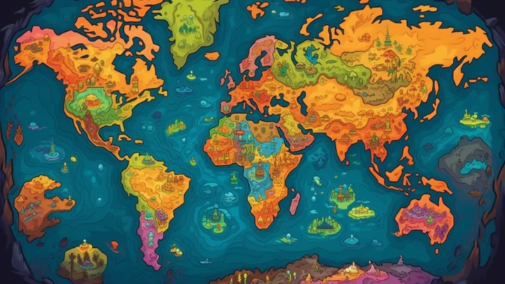
Cartography is a versatile field that produces a wide array of map types, each tailored to specific purposes and audiences. This diversity reflects the multifaceted nature of our world and the various ways we seek to understand and interact with it. Here, we delve into some of the most common and intriguing map types, showcasing their unique roles in our lives:
Topographic Maps: These maps meticulously detail the physical features of a particular area, including contours, elevation, rivers, and forests. They are indispensable tools for hikers, surveyors, and urban planners, providing crucial information for navigating and understanding terrain.
Political Maps: Political maps depict boundaries, countries, states, and cities. They offer a comprehensive view of administrative divisions, making them valuable for political analysis, education, and international relations.
Thematic Maps: Thematic maps focus on a specific theme or topic, such as population density, climate zones, or economic indicators. They help us grasp spatial patterns related to these themes and are essential in fields like demography, environmental science, and economics.
Nautical Charts: These maps are essential for mariners, providing detailed information about oceans, seas, and coastal areas. Nautical charts include critical data on tides, currents, depths, and navigational hazards to ensure safe maritime navigation.
Cadastral Maps: Cadastral maps document land ownership, property boundaries, and land parcel information. They are vital for land management, taxation, and urban planning, facilitating efficient land use and resource allocation.
Climate Maps: Climate maps visualize climatic conditions like temperature, precipitation, and humidity across regions. Climatologists and meteorologists rely on these maps to analyze and predict weather patterns.
Roadmaps: Often found in glove compartments and smartphones, roadmaps provide essential information for travelers. They highlight roads, highways, points of interest, and distances, making navigation convenient.
Satellite Imagery and Remote Sensing Maps: In the era of space exploration, satellite imagery and remote sensing maps offer a bird’s-eye view of the Earth’s surface. They aid in environmental monitoring, disaster management, and urban planning by capturing images from space.
Historical Maps: These treasure troves offer glimpses into the past, showing how territories, borders, and landmarks have evolved over time. Historians, archaeologists, and enthusiasts use them to trace the footsteps of history.
Interactive and Digital Maps: With the digital age, interactive and digital maps have become increasingly popular. These dynamic maps can be customized and layered with diverse information, enhancing our ability to explore and analyze geographic data interactively.
The diversity of map types underscores the versatility and significance of cartography in our lives. From aiding explorers and researchers to informing everyday decisions and preserving historical records, maps continue to be powerful tools for unraveling the complexity of our world. Whether you’re embarking on a road trip, studying climate trends, or researching land ownership, there’s a map type tailored to your needs, waiting to guide you through the intricacies of our planet.
Harnessing Modern Cartographic Tools and Technologies
The world of cartography has undergone a profound transformation in recent years, thanks to the advent of modern tools and technologies. These innovations have not only expanded the horizons of map-making but have also revolutionized how we perceive and interact with geographic information. Here, we delve into the cutting-edge tools and technologies that are reshaping the field of cartography:
Geographic Information Systems (GIS): GIS has emerged as a cornerstone of modern cartography. These powerful systems allow cartographers to collect, store, analyze, and visualize spatial data with unparalleled precision. Whether it’s urban planning, disaster response, or environmental monitoring, GIS has become an indispensable tool.
Remote Sensing: Satellites, drones, and other remote sensing technologies have opened new vistas in cartography. They provide high-resolution images and data from remote or inaccessible areas, allowing for real-time monitoring of changes in land use, climate, and natural disasters.
Big Data Analytics: With the proliferation of data, cartographers are harnessing big data analytics to process vast datasets in real-time. This allows for dynamic and up-to-date mapping, critical for applications such as traffic management, logistics optimization, and resource allocation.
Web Mapping Services: Web-based mapping services, such as Google Maps and OpenStreetMap, have democratized access to maps and spatial information. These platforms enable users to explore, customize, and interact with maps on a global scale.
3D Mapping and Lidar: Cartographers are venturing into three-dimensional mapping, creating immersive experiences that offer new insights into landscapes and cityscapes. Light Detection and Ranging (LiDAR) technology, in particular, enables highly accurate 3D representations.
Augmented Reality (AR): AR is blurring the lines between the digital and physical worlds. AR mapping apps, like those on smartphones, superimpose digital information on the real environment, providing users with real-time, context-aware data and navigation.
Artificial Intelligence (AI) and Machine Learning: AI and machine learning algorithms are revolutionizing cartography by automating map creation, extracting patterns from data, and enhancing data accuracy. These technologies are particularly valuable in processing large datasets.
Crowdsourced Mapping: Citizen cartographers are actively contributing to mapping efforts, providing valuable local knowledge and updates. Crowdsourced mapping platforms are increasingly used for humanitarian response and disaster recovery.
Environmental and Climate Modeling: Advanced environmental models and climate simulations are integrated into modern cartography, allowing cartographers to create maps that depict climate change, environmental trends, and the impact of human activities on ecosystems.
Personalization and Location-Based Services: Mapping services are becoming highly personalized, tailoring maps to individual preferences and needs. Businesses use location-based services to offer customized experiences and targeted marketing.
These modern tools and technologies are reshaping how we perceive, use, and benefit from cartography. As the field continues to evolve, cartographers, scientists, and enthusiasts are embracing these innovations to navigate the complexities of our ever-changing world, unravel its mysteries, and share its wonders with a global audience. The future of cartography is marked by a fusion of technological prowess and creative ingenuity, unlocking new frontiers of exploration and understanding.
The Future of Cartography: Trends and Innovations
As we stand on the threshold of a new era, the field of cartography is not only evolving but also expanding its horizons in ways that were once unimaginable. Here, we explore the exciting trends and innovations that are shaping the future of cartography:
Digital Cartography and GIS Advancements: The digital revolution has transformed cartography, enabling the creation of highly interactive, real-time maps. Geographic Information Systems (GIS) have become increasingly sophisticated, allowing for advanced spatial analysis, data visualization, and dynamic mapping. The integration of artificial intelligence and machine learning promises even greater insights from spatial data.
3D and Augmented Reality Mapping: Cartographers are venturing into the realm of 3D mapping and augmented reality (AR). These technologies provide immersive experiences, enabling users to explore landscapes and cityscapes in three dimensions. AR mapping apps on smartphones offer users a rich overlay of information on the real world, from historical landmarks to restaurant reviews.
Big Data and Real-Time Mapping: With the advent of big data, cartographers are grappling with vast datasets in real-time. This allows for immediate responses in disaster management, urban planning, and transportation optimization. Real-time mapping applications, such as traffic updates and weather tracking, are becoming increasingly indispensable.
Crowdsourced Mapping: Citizen cartographers are actively contributing to mapping efforts, adding local knowledge and details that may not be available through traditional means. Projects like OpenStreetMap showcase the power of crowdsourced mapping in creating comprehensive and up-to-date geographic data.
Environmental and Climate Mapping: Climate change and environmental concerns have led to an increased focus on mapping ecosystems, habitats, and environmental trends. Cartographers are working alongside scientists to create maps that highlight ecological changes, aiding conservation efforts.
Space Mapping and Planetary Cartography: As space exploration continues, cartographers are extending their reach to map other celestial bodies, including the moon, Mars, and beyond. These efforts are crucial for planning future missions and understanding the cosmos.
Customized and Personalized Mapping: Mapping services are becoming highly customizable, allowing users to personalize maps with their preferred layers of information. Businesses can create tailored maps for marketing, logistics, and location-based services.
Ethical Considerations: As maps play an increasingly vital role in decision-making, ethical concerns have emerged. Issues related to data privacy, biases in map design, and equitable access to mapping resources are receiving greater attention.
Artistic Cartography: While functionality remains paramount, there is a growing appreciation for the artistic aspects of cartography. Creative map design and visual storytelling are breathing new life into map-making, making maps not only informative but also aesthetically captivating.
Global Collaboration: In our interconnected world, cartographers are collaborating across borders to create comprehensive, global maps and address global challenges. International cooperation in mapping is essential for understanding and managing shared resources and environmental issues.
The future of cartography is marked by a fusion of technology, creativity, and a deeper understanding of our world’s complexities. As we move forward, we can anticipate increasingly sophisticated maps that not only guide us but also empower us with knowledge, insights, and new ways of seeing and interacting with our ever-changing planet.
Frequently Asked Questions
What is cartography?
Cartography is the art and science of creating maps. It involves representing geographical information visually, using techniques like mathematics, graphics, and symbols to depict features of the Earth’s surface.
What is the history of cartography?
Cartography dates back to ancient civilizations, with early maps found in Babylonia and Greece. Notable contributions include Ptolemy’s maps in the Renaissance and the Age of Exploration. Modern digital cartography and Geographic Information Systems (GIS) have revolutionized the field.
How do cartography and geography relate?
Geography provides the data and context, while cartography transforms that data into visual representations. They work together, with cartography aiding in the analysis and communication of geographical information.
What are some common types of maps?
Common map types include topographic maps (terrain details), political maps (borders and regions), thematic maps (focused on a theme like population), nautical charts (for marine navigation), and climate maps (depicting climate patterns).
How has technology influenced cartography?
Technology has revolutionized cartography with Geographic Information Systems (GIS), remote sensing, 3D mapping, augmented reality, and big data analytics. These tools have enhanced mapping accuracy, accessibility, and functionality.
What are the ethical considerations in cartography?
Ethical issues in cartography include biases in map design, data privacy concerns, and equitable access to mapping resources. Cartographers must navigate these challenges to ensure responsible map-making.
How do I become a cartographer?
To become a cartographer, one typically pursues a degree in geography, cartography, or a related field. Practical experience and proficiency in mapping software and tools are also essential.
What is the future of cartography?
The future of cartography involves continued advancements in digital mapping, 3D and augmented reality mapping, big data analytics, and environmental modeling. It will play a crucial role in addressing global challenges and enhancing our understanding of the world.
How can I contribute to cartography as a citizen?
You can contribute to cartography as a citizen by participating in crowdsourced mapping projects, updating open-source maps like OpenStreetMap, and providing local knowledge for map improvements.
What are some notable cartographic resources for further exploration?
Notable resources for further exploration include libraries, museums, online map archives, geographic societies, and online courses or tutorials in cartography and GIS. These resources offer valuable insights into the world of maps and mapping.
Wrap Up...
Cartography, with its rich history, artistic expressions, and innovative trends, continues to hold a prominent place in our evolving world. From ancient civilizations sketching the first maps on clay tablets to the modern era of real-time, 3D, and augmented reality mapping, the journey of cartography has been nothing short of remarkable.
Today, cartography stands at the intersection of science and art, offering us not only navigational guidance but also a window into the complexities of our planet. It helps us make informed decisions, visualize the effects of climate change, and explore the frontiers of space. It plays a role in disaster management, environmental preservation, and global collaboration.
Yet, as we embrace the boundless possibilities of digital mapping and emerging technologies, we must also remain vigilant about ethical concerns, ensuring that the power of maps is harnessed for the benefit of all, while minimizing biases and upholding privacy rights.
As we conclude this journey through the world of cartography, let us acknowledge the cartographers, past and present, who have dedicated themselves to navigating the mysteries of our world and making it accessible to all. Let us also celebrate the enduring synergy between geography and cartography, a partnership that continues to deepen our understanding of our planet.
In the years ahead, as cartography continues to evolve, it will undoubtedly play a pivotal role in helping us navigate the challenges and opportunities that await. Whether you are an explorer, a scientist, a traveler, or simply an enthusiast of maps, cartography invites you to embark on an unending journey of discovery, where the art of map-making meets the ever-expanding frontiers of human knowledge.